Vetting the Access Before You Build the Lifestyle: The Open-Water Logic and Long-Range Realities Beyond the Scope of Traditional Residential Agents
How quickly can you get from your private dock on the Sunset Islands to the sandbar, a marina lunch, or the open ocean? If you boat from Miami Beach, timing your run around bascule bridges, state-enforced no‑wake zones, and dynamic inlet currents can make the difference between a seamless afternoon outing and an exhausting logistical slog. Boating from the Sunset Islands requires localized route intelligence to safeguard your vessel and maximize your time on Biscayne Bay. This guide provides actionable run‑time math, channel nuances, and practical marine parameters tailored explicitly to the Sunset Islands corridor.
Where You Can Navigate from Sunset Islands
Northbound: Haulover Inlet and Sandbar Route
Departing the Sunset Islands, you enter the Intracoastal Waterway via the Meloy Channel corridor and shape a course north toward Haulover. This track positions you perfectly for the Haulover Sandbar anchoring lanes and direct Atlantic egress via Haulover Inlet. Fortuitously, the majority of this deep-water channel is free from restrictive, year-round State Manatee Protection Zones. The approximate channel distance from Sunset Islands to the inlet is 9 nautical miles, demanding a realistic travel window of 1 to 1.5 hours depending on vessel classification.
Captain’s Field Intel: Haulover Inlet carries a fixed bridge clearance of 30–32 feet. However, your northbound transit is governed by two critical bascule restrictions: the 79th Street Bridge (19–21 ft closed clearance) and the Shepard Broad Causeway (14–16 ft closed clearance). Waterway traffic peaks aggressively after 11:00 AM on weekends; coordinate your departures early to miss congestion along the sandbar channels.
Southbound: Government Cut and Key Biscayne Artery
Steering south opens up immediate access to Government Cut, PortMiami, and the expansive waters surrounding Key Biscayne and the Rickenbacker corridor. Government Cut serves as Miami's primary deep-draft shipping gateway to the Atlantic, featuring high-density commercial traffic and the active Fisher Island ferry lines. While the direct line from Sunset Islands to Government Cut is a short 3 nautical miles, your transit requires clearing the Venetian East bascule bridge (8–10 ft closed clearance) and navigating through heavily regulated slow-speed manatee buffers. On weekends, the Venetian span operates on strict half-hour opening schedules between 7:00 AM and 7:00 PM.
Westbound: Mid-Bay Shoals, Flats, and Downtown Marinas
Crossing due west steers you across the mid‑bay shoals and expansive shallow flats toward downtown Miami’s premier marina facilities, the Miami River artery, and protected mangrove keys. Most near‑shore coastal stretches along the western basin enforce strict slow-speed or permanent no‑wake ordinances. Always cross-reference real-time depths against your vessel’s draft, respect sensitive underwater habitats, and never anchor over protected seagrass beds.
Calculating Real‑World Run Times
Planning a successful transit requires measuring your exact course distance along designated channels via a certified chartplotter—never measure in an artificial straight line across shallow bay pockets.
The Navigational Run‑Time Formula:
Time (Hours) = Distance (Nautical Miles) ÷ Speed (Knots)
Important Margin Note: Always overlay an additional 15% to 30% calculation buffer to account for mandatory slow-speed zones, localized bridge queues, cross-current resistance, and weekend water density.
Many localized Biscayne Bay runs from Sunset Islands docks are exceptionally brief. Depending on your vessel draft and cruising velocity, a short 20-to-30 minute run places you at premier sandbars or private marina facilities. Ocean inlet runs naturally demand extended planning windows due to channel configurations and tidal alignment requirements.
Inlet Dynamics and Tidal Timing
Inlets focus immense liquid current. During cycles of peak ebb or flood tides, both Haulover and Government Cut can generate hazardous velocity flow rates and standing vertical chop. Captains of mid-size center consoles or sportfishers should structure ocean exits around slack tide phases or highly favorable flow directions.
Wind direction remains a dominant safety factor, particularly when an onshore afternoon sea breeze directly opposes an outgoing ebb tide current. This opposition stacks waves into short, steep, punishing walls of water. Always leave yourself generous operational margins so you are never rushed during an inlet approach.
Critical Waterway Nuances and Hazards
- Honor the Marks: Federal and state channels are strictly bounded by red and green aids to navigation. Pushing outside these explicit lateral markers risks catastrophic grounding on shifting mid-bay shoals.
- Track Migrating Sandbars: Shifting shoals fluctuate seasonally, drastically reducing water depths at the margins of popular recreational anchorages.
- Enforced Wake Ordinances: Marine police divisions strictly enforce no-wake or slow-speed zones inside residential canal networks and around sensitive beachfront shorelines.
- Audit Dock Constraints: Always verify precise low-tide vertical drafts, beam clearances, and municipal setbacks before choosing or constructing a private dock configuration. Learn more about your legal boundaries in our guide to Florida riparian rights.
- Seagrass Preservation: Avoid anchoring over protected flats. Destroying seagrass beds via propeller scarring or improper anchoring brings severe environmental penalties.
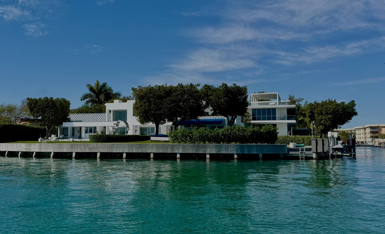
Sunset Islands vs. Alternative Waterfront Enclaves
The primary advantage of Sunset Islands is its immediate proximity to the main Intracoastal channel artery. Unlike properties buried deep within interior mainland canal grids, Sunset Islands homeowners spend minimal time operating at mandatory idle speeds before reaching open, marked channels. For active yacht owners, this infrastructure efficiency saves massive chunks of transit time over a seasonal period.
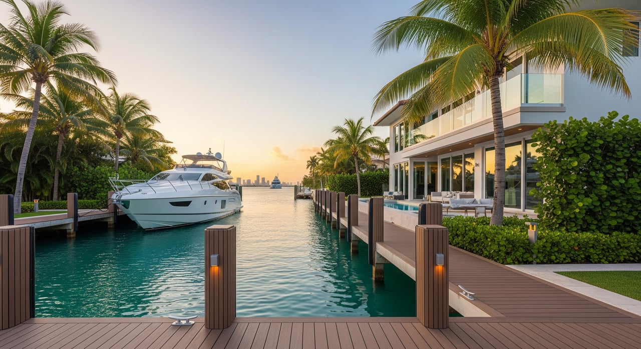
When reviewing waterfront real estate assets, look beyond the home's interior finishes. Prioritize certified bulkhead water depths at Mean Low Water (MLW), legal dock parameters, and the structural health of marine installations. For long-term asset security, review historical engineering permits and analyze how local wake zones impact your seawall armor systems.
The Value of a Local Vessel Command Tour
If you are unfamiliar with Miami Beach's unique shoals or are planning your inaugural transit through Haulover Inlet, bringing on a licensed local captain is a wise investment. Spending a few hours learning localized tide windows, channel shortcuts, and high-density weekend docking protocols protects your capital investment and establishes immediate operational confidence.
The Captain’s Advantage: Marine Infrastructure Engineering Due Diligence
Vessel dimensions, low-tide channel drafts, and bridge air-draft logistics dictate your waterfront property liquidity far more than standard aesthetic aesthetics. Traditional residential agents look at square footage—mariners calculate margins of safety.
Backed by over 25 years of active maritime command and luxury property execution, I secure the technical data regarding channel clearances, riparian setbacks, and seawall compliance required to isolate your capital from risk. Protect your interests from day one with an unassailable asset profile.
FAQs
How long from Sunset Islands to Haulover Sandbar?
- Measure the exact channel distance on your plotter, divide by your standard cruising speed, then layer in a 20% margin buffer to account for mandatory no-wake spans, bridge schedules, and localized traffic density.
Which inlet is easier for small boats near Miami Beach?
- Both ocean access points feature distinct profiles. However, Haulover Inlet is significantly narrower and heavily subject to dangerous wind-on-tide conditions compared to Government Cut. Always execute your first transit during a favorable slack tide window.
Are there restricted anchoring or seagrass zones in Biscayne Bay?
- Yes. Large swathes of Biscayne Bay are designated state aquatic preserves. Anchoring over protected seagrass beds or violating local mooring laws carries severe financial and environmental penalties.
What speeds should I expect inside the bay near Sunset Islands?
- Expect highly regulated slow-speed or permanent no‑wake buffers near shorelines, residential canal mouths, and bridges. Higher velocities are permitted inside the Meloy Channel corridor, provided you watch for posted seasonal manatee modifications.