
Vetting the Water Before You Price the House: The Specialized Technical Due Diligence That Most Realtors Overlook
Why a Standard Land Survey Stops at the Seawall
When purchasing a home in North Miami’s premier boating communities like Keystone Point or Eastern Shores, most buyers follow a standard inspection checklist: a home inspection, a roof inspection, and a boundary land survey. However, if you are buying primarily for water frontage, that checklist has a massive, multi-million dollar hole in it.
The reality is that a standard land survey only tells you where your grass ends. It tells you nothing about where your rights to the water begin. In the State of Florida, relying on a land surveyor who isn't an expert in Riparian Rights is one of the most expensive gambles a waterfront home and yacht owner can make.
The "Straight Line" Fallacy
The most common mistake among waterfront property owners—and even most real estate agents—is the belief that your side property lines simply extend in a straight line out into the water.
The Florida Department of Environmental Protection (DEP) is clear on this: "The direction of upland boundaries is largely ignored when apportioning riparian rights." Riparian lines are governed by equity, not geometry. Because shorelines curve and canals have "threads" (the center line of navigability), your underwater property lines may angle or converge. For a foundational breakdown of how these legal principles function, see my guide on understanding riparian rights for Florida homeowners.
The Hierarchy of Your Riparian Rights
Under Florida Statute 253.141, riparian rights are "common law" rights that attach to your "upland" property. However, these rights are not absolute; they are a balancing act of "reasonable use." There is a specific hierarchy to what you actually own:
- Access: Your primary right is the right of ingress and egress—the ability to safely navigate from your property out to the deep-water channel.
- Wharfing: The right to construct a dock, boat lift, or bulkhead (subject to environmental regulations and local codes like Miami-Dade Code of Ordinances Chapter 7).
- The View: You carry a legal right to a "direct and unobstructed view." As established in the landmark case Hayes v. Bowman (1957), an upland owner must be permitted an uninhibited view of the channel thread.
Why the "Riparian Survey" is Your Only Protection
A Riparian Survey is a specialized, technical operation designed to map, define, and equitably apportion a waterfront property owner's aquatic boundaries. The key parameters in a definitive riparian survey include calculating strict dock limits, settling boundary disputes, confirming legal lines of access, distinguishing private titles from sovereign submerged land, and providing vital permitting support for engineering modifications or dredging operations.
Without this specialized data, you are incredibly vulnerable to:
- Permit Denials: Regulatory agencies will deny any dock extension or high-capacity lift installation if the planned footprint encroaches on a neighbor’s equitable riparian allocation.
- Valuation Loss: If your underwater boundaries converge, your property layout may completely lack the physical slip space to accommodate the large vessels that affluent buyers expect. To understand how these nautical configurations dictate your home's worth, read my post on how to maximize your waterfront home's value by highlighting nautical appeal.
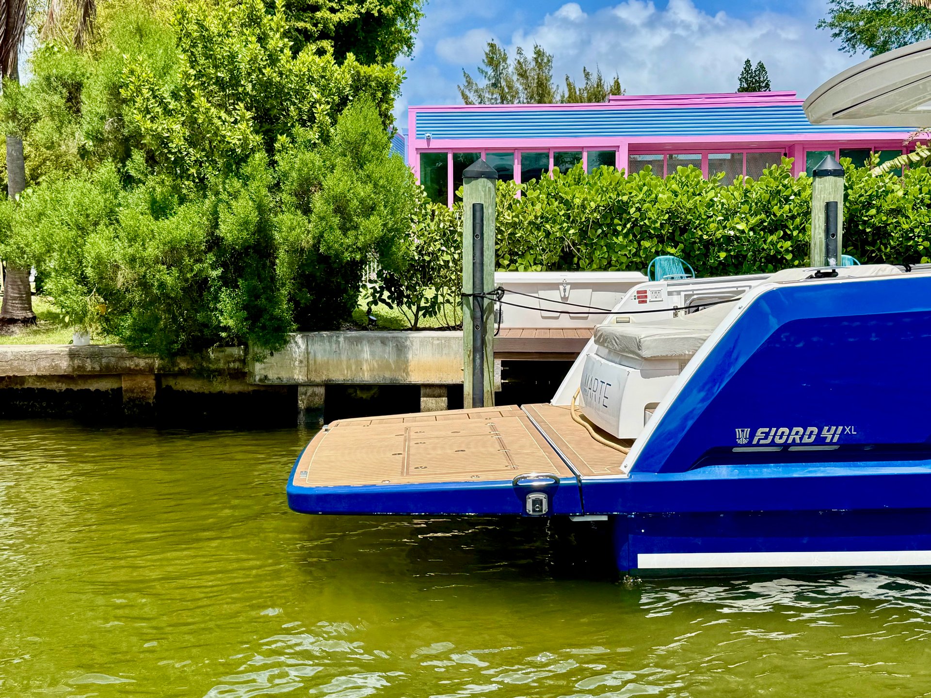
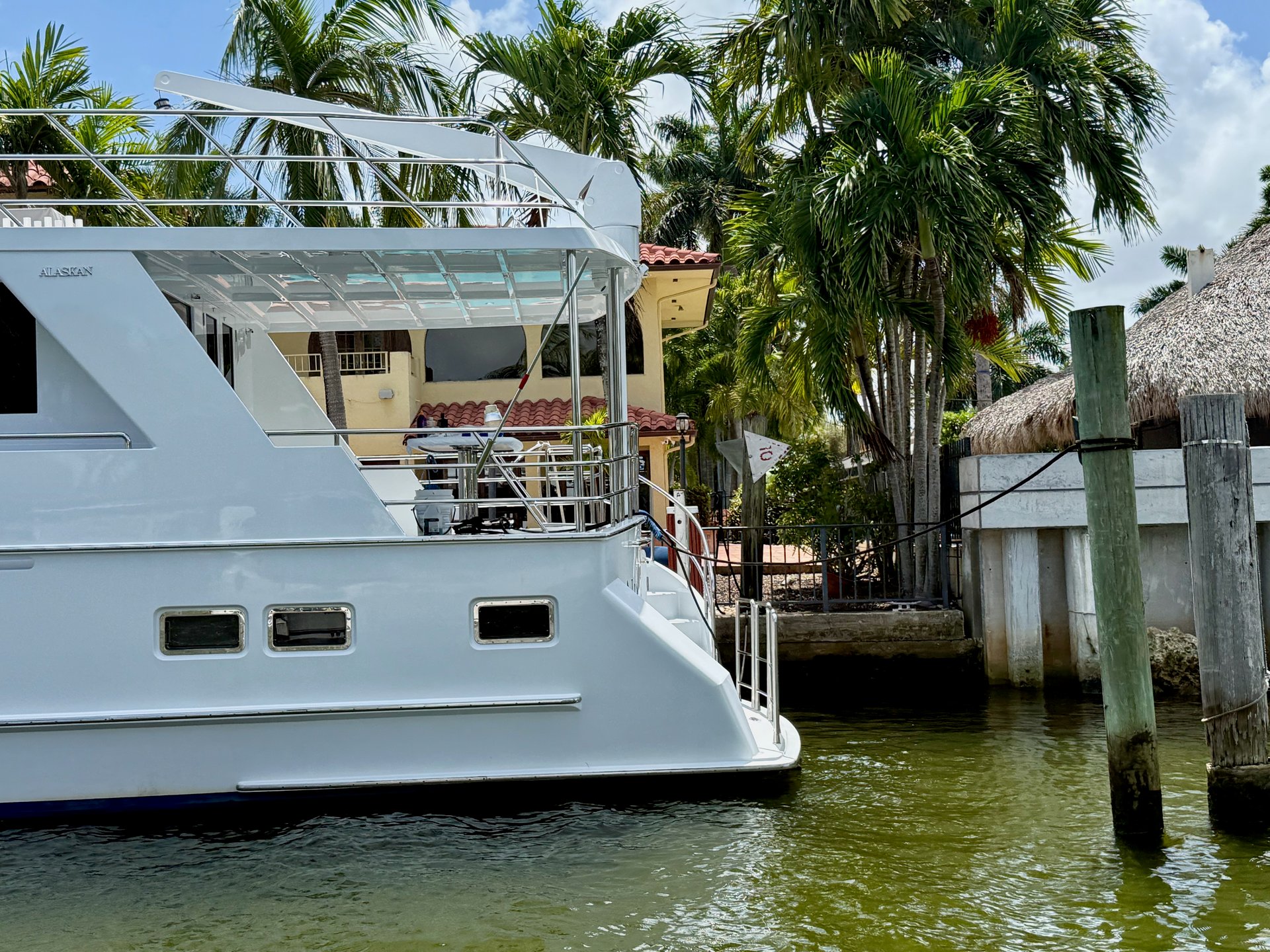
- The "Point Lot" Trap: In the complex canal systems of Keystone Islands, properties positioned on canal turns feature boundary configurations that converge at acute angles. A certified survey is the singular mechanism to prove your estate owns the legal clearance for the draft and beam of the yacht you intend to pilot.
The Boater’s Bottom Line
In our local waterways, your real estate equity is inextricably anchored to your deep-water execution. Whether you are managing the deep-water layout of Eastern Shores or the self-contained maritime structure of Keystone, the "line of navigability" is your single most critical boundary parameter.
Don't wait for a municipal code enforcement notice or an adversarial neighbor's lawsuit to dictate your property rights. Waterfront ownership in Florida is governed by standard frameworks of reasonable use—ensure your lifestyle investments are insulated by verified technical parameters before you close the transaction.
The Captain’s Advantage: Technical Marine Asset Alignment
Expanding your family's escape radius from weekend boaters to confident long-range explorers requires a seamless marriage of your real estate infrastructure and your vessel's capability. If your neighborhood canal system or dock setbacks limit your capabilities, you are leaving the best parts of Miami on the table.
With over 25 years of active maritime command and luxury property execution, I specialize in vetting canal depths, bridge clearances, and deeded dock configurations to ensure your estate serves as the perfect home port. Secure a professional property analysis before you buy, build, or list.
Legal Disclaimer: Ross Milroy is a licensed real estate broker, not a licensed attorney or professional surveyor. The information provided in this publication is configured exclusively for educational and strategic marketing objectives and does not constitute formal legal counsel or professional land engineering advice. Riparian rights, littoral allocations, and aquatic boundaries are highly complex legal structures that fluctuate dramatically based on municipal zoning, county regulations, and explicit property-specific histories. Readers must not utilize this content as a definitive substitute for specialized legal advice or a certified riparian survey executed by a licensed surveyor. Always engage a qualified Florida real estate attorney and a licensed professional surveyor prior to completing investment transactions or executing binding agreements contingent upon waterfront asset profiles.